


Top Drone Jamming Detection Systems for Global Buyers
Global buyers evaluating Top Drone Jamming Detection Systems need more than a list of sensors. They need to know what each system detects, where it performs reliably, and how clearly it reports uncertainty. Drone Jamming detection may involve passive radio-frequency monitoring, radar, optical cameras, or acoustic sensors. Each has limits. A camera can lose a small aircraft against bright cloud; an RF sensor may miss a drone that emits little detectable signal. No single sensor sees everything.
Drone-policy scholar Sarah Kreps’s research offers a useful reminder, paraphrased here: drone technology must be assessed in its operational context. That principle matters when comparing detection systems. A crowded port, a remote energy site, and a busy airport have different terrain, background signals, and response needs. Buyers should examine detection range alongside false-alarm rates, update practices, integration requirements, and the quality of operator training. Small details count. A clean dashboard is helpful, but it cannot replace validated field performance or careful human review.
This guide compares system types and buyer considerations without treating detection as interference or disruption. It focuses on lawful, safety-oriented monitoring and transparent product claims. Specifications deserve scrutiny. Published ranges may reflect ideal conditions, not a reader’s site. Some comparisons remain imperfect because vendors use different test methods. That is worth acknowledging. The strongest choice is not always the system with the longest advertised range; it is the one whose limits are understood, tested, and suited to the buyer’s documented needs.
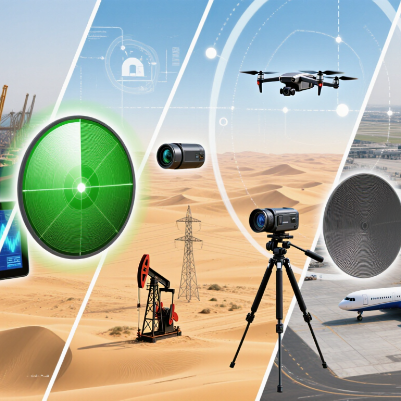
What Drone Jamming Detection Systems Are and Why They Matter
Drone jamming detection systems monitor radio-frequency conditions and navigation signals to identify possible interference affecting an unmanned aircraft. They do not stop interference. Instead, they help operators recognize warning signs, such as sudden signal-strength changes, lost satellite reception, or position data that conflicts with the aircraft’s movement. Some systems combine RF sensors with flight telemetry, creating a clearer picture than a single alert can provide.
Why does that matter?
The European Union Agency for the Space Programme’s 2024 EO and GNSS Market Report estimates global GNSS revenues at about €260 billion in 2023, reflecting how widely satellite positioning supports modern services. That figure is not a measure of jamming incidents, but it shows the scale of reliance on GNSS.
In practice, detection quality depends on sensor placement, local radio conditions, and careful review of alerts. A false alarm can distract; a missed anomaly can erode confidence in flight data. Neither outcome is trivial. Buyers should ask how a system distinguishes interference from ordinary signal blockage, and how it records evidence for later technical review.
No detector is perfect. That limitation deserves honest attention.
